Free Printable Map of Manhattan NY Sources – A free printable map of Manhattan NY is one of the most practical tools for anyone exploring New York City. Whether you are a first-time visitor, a local planning a day out, or someone who prefers paper maps over phone screens, a clear street or tourist map helps you navigate the island’s dense grid, locate neighborhoods, and find major attractions without constant data use.
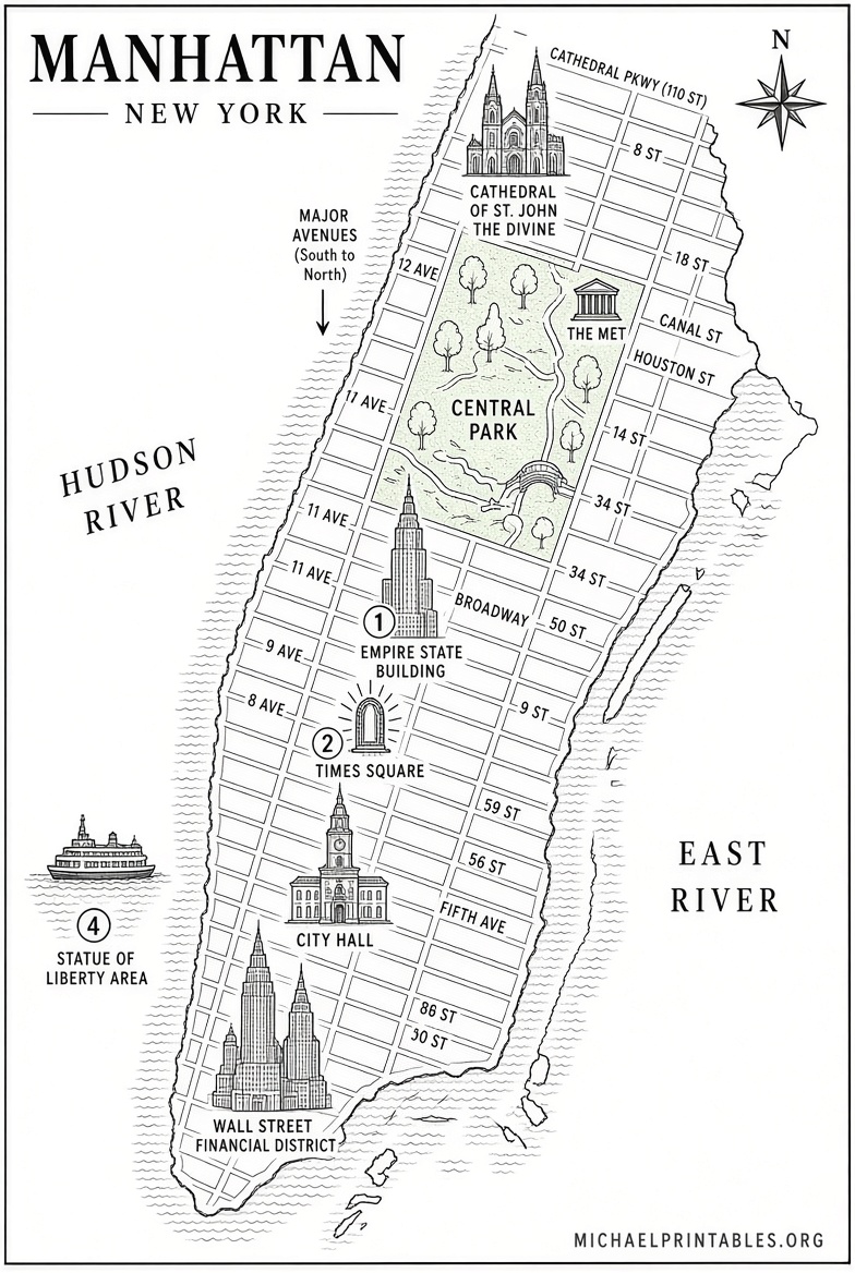
Manhattan’s layout is unique: numbered streets run east-west, avenues run north-south, and landmarks are packed into a relatively small area. A good free printable map of Manhattan NY shows this structure at a glance, highlights subway stops, and points out key sites like Central Park, Times Square, the High Line, and Lower Manhattan. Many reliable sources offer high-resolution versions you can download and print at home or at a local copy shop.
Best Free Printable Map of Manhattan NY Sources
Several trusted sites provide legitimate free printable maps. These are not paywalled or limited to newsletter sign-ups for the basic versions.
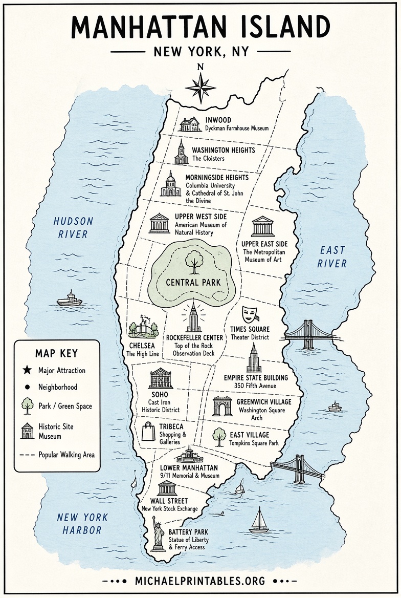
The Tripomatic free printable tourist map of New York City is an excellent starting point. It features numbered top sights focused on Manhattan and nearby areas, is high-resolution, and is free to download and print under a Creative Commons license. Visit the page at Tripomatic New York City printable map to get the current version.
OnTheWorldMap offers a collection of free maps of New York City, including multiple Manhattan-specific options such as street maps, tourist maps, neighborhood maps, and sightseeing maps. You can download and print them for personal and educational use (attribution is requested). Browse the full set at OnTheWorldMap New York City maps.
ManhattanMap360 provides straightforward free PDF maps of Manhattan, including a general city map, downtown map, and street maps that you can download and print directly. Access them from ManhattanMap360 free maps and the related street map page.
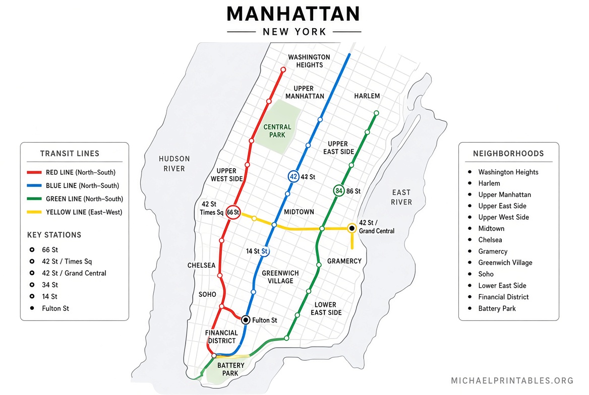
For transit, the official MTA site is the authoritative source. It offers free subway diagrams, geographic subway maps, and bus maps that cover Manhattan extensively. These are ideal to pair with a street map. Find the current downloads at MTA official maps.
A dedicated free printable street map of Manhattan is also available on OnTheWorldMap, showing the road network clearly for navigation. It is free for personal use with proper credit.
Free Printable Map of Manhattan NY Sources
Types of Free Printable Manhattan Maps
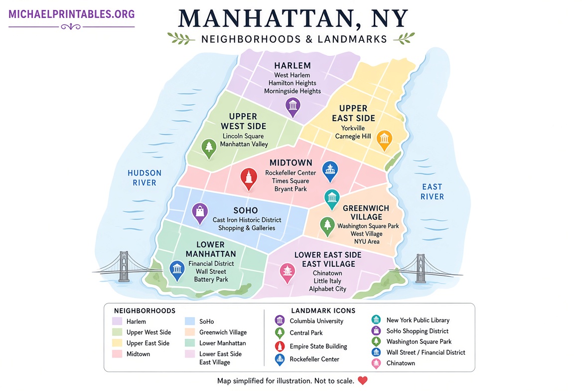
Street maps emphasize the grid system, avenues, and major roads so you can walk or drive confidently. Tourist and sightseeing maps highlight attractions, visitor centers, and popular routes, which is useful if your main goal is landmarks. Neighborhood maps break the island into areas like the Upper West Side, SoHo, or Harlem. Subway maps from the MTA show lines and stations so you can combine walking with transit.
Most of these free printable maps of Manhattan NY are available as high-resolution images or PDFs, so they stay sharp when printed on standard letter or tabloid paper.
Practical Tips for Printing and Using Your Map
Print in color if possible for clearer distinction between streets, parks, and water. Choose “fit to page” or actual size depending on whether you want a compact pocket version or a larger reference sheet. Many people print a tourist map for the overall plan and a street or subway map for day-to-day movement.
Fold the map to show only the section you are currently in, or mark your hotel and planned stops with a pen. Pair the paper map with a phone for real-time transit updates, since service changes can occur. Always check the date on the source page, as major street layouts change rarely but transit diagrams are updated more often.
FAQ
Are these free printable maps of Manhattan NY really free?
Yes. The sources listed above explicitly offer free download and print options for personal use. Some request attribution if you republish the map.
Which free printable map is best for tourists?
The Tripomatic map and the OnTheWorldMap tourist/sightseeing versions are strongest for visitors because they emphasize numbered or labeled attractions.
Can I get a free subway map of Manhattan?
Yes. The official MTA maps page provides current free subway diagrams and geographic maps that cover the entire system, including all Manhattan lines.
Do these maps include neighborhoods?
Many do. OnTheWorldMap and ManhattanMap360 offer neighborhood and downtown-focused versions alongside general street maps.
A free printable map of Manhattan NY remains one of the simplest ways to stay oriented in the city. Download one or two versions before your trip, print them, and keep them with you for reliable, offline navigation.