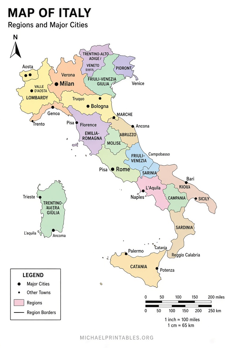
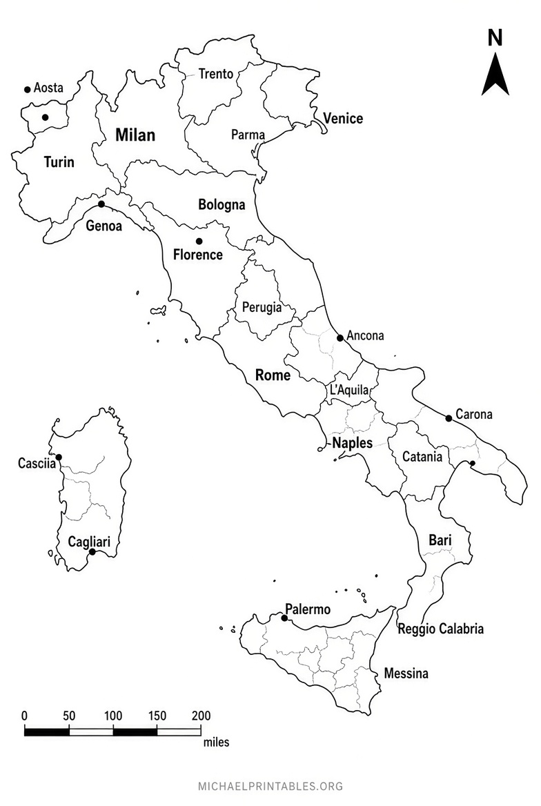
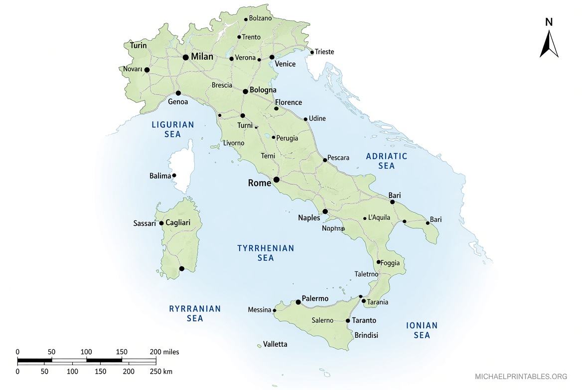
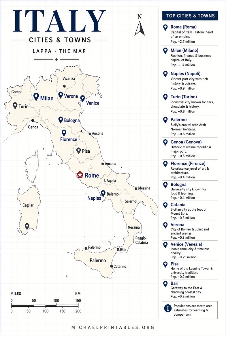
Free Printable Map of Italy with Cities & Towns – Looking for a free printable map of Italy with cities and towns? Whether you are planning a trip from the United States, helping kids with a school geography project, homeschooling, or just want a clear reference map to hang on the wall, a good labeled Italy map makes the country’s layout easy to understand.
Italy’s distinctive boot shape, its 20 regions, major cities like Rome, Milan, Florence, Venice, Naples, and Turin, plus dozens of smaller towns, appear on many free printable maps. This page points you to legitimate, currently available free downloads so you can print a useful map at home on standard US Letter paper.
Why a Map with Cities and Towns Helps?
A map that shows both major cities and selected towns gives better orientation than a blank outline or regions-only version. You can quickly locate:
- The capital, Rome, in central Italy
- Northern hubs such as Milan, Turin, Venice, and Bologna
- Central destinations including Florence, Pisa, and Siena
- Southern and island cities such as Naples, Bari, Palermo, and Cagliari
- Key towns that travelers and students often need to place
These maps support trip planning, classroom labeling exercises, travel scrapbooks, and general reference without requiring any purchase.
Free Printable Map of Italy with Cities & Towns
Where to Get Free Printable Maps of Italy with Cities and Towns?
Here are reliable, no-cost options that include cities (and often towns). All links open in a new tab. Downloads are free for personal, educational, or non-commercial use as stated on each site—always check the individual page for current terms.
- Mom In Italy – Black & White and Color Versions
High-quality printable PDFs labeled with a long list of cities and towns (Rome, Milan, Florence, Venice, Naples, Turin, Bologna, Palermo, Catania, Verona, and many more). Available in both black-and-white and color. Click the map images on the page to open the PDFs.
Free printable map of Italy (black & white and color) - SimpleMapLab – Outline Map with Cities Variant
Public-domain (CC0) map with four free variants: blank, labeled regions, colored, and with cities. Download as PDF (US Letter-friendly), PNG, or SVG. No signup or watermark. Ideal for printing or editing.
Free blank and cities map of Italy (PDF/PNG/SVG) - OnTheWorldMap – Large Detailed Map with Cities and Towns
Detailed map showing cities, towns, highways, secondary roads, railroads, airports, and mountains. Free to download and print for educational, personal, and non-commercial purposes (attribution required for web or publication use).
Large detailed Italy map with cities and towns - University of Texas Perry-Castañeda Library – CIA Public Domain Maps
Authoritative U.S. government (CIA) maps of Italy, including political, administrative divisions, physiography, and transportation versions. Many are available as free PDF or JPEG downloads. These are excellent for clear, official-style reference.
CIA and public-domain Italy maps (University of Texas collection)
These sources prioritize free access and clear labeling. Avoid sites that require payment, email signup, or unclear licensing if your goal is a simple, legitimate free printable.
Quick Tips for Printing and Using Your Map
- Print on standard US Letter (8.5 × 11 inches) paper. Choose “Fit to page” or “Scale to fit” in your print dialog for best results.
- Prefer PDF or SVG files when available—they stay sharp at larger sizes.
- For classroom or kids’ activities, print a blank or lightly labeled version alongside a fully labeled one so students can practice.
- Laminate a copy if you want a durable travel or wall reference.
- Combine a cities map with a regions map if you need both administrative boundaries and place names.
Brief FAQ
Are these maps really free?
Yes. The linked resources explicitly offer free downloads for personal and educational use (some note attribution for commercial or web republication). Always review the terms on the download page.
Do the maps show towns as well as big cities?
Several do. The Mom In Italy and OnTheWorldMap versions include a broad selection of towns in addition to major cities. SimpleMapLab’s “with cities” variant focuses on the capital and largest centers.
Can I use them for school projects or commercial work?
Personal, educational, and non-commercial use is generally allowed. Public-domain options (SimpleMapLab CC0 and CIA maps) offer the broadest reuse rights. Check each site’s license statement for commercial needs.
What if I need a higher-resolution or poster-size map?
Start with the vector (SVG) or high-resolution PDF options listed above. Many print shops can enlarge them cleanly.
A free printable map of Italy with cities and towns is one of the simplest tools for understanding the country. Grab one of the downloads above, print it, and you’ll have a clear, practical reference ready in minutes.