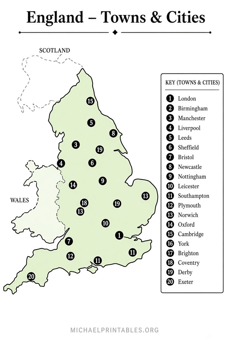
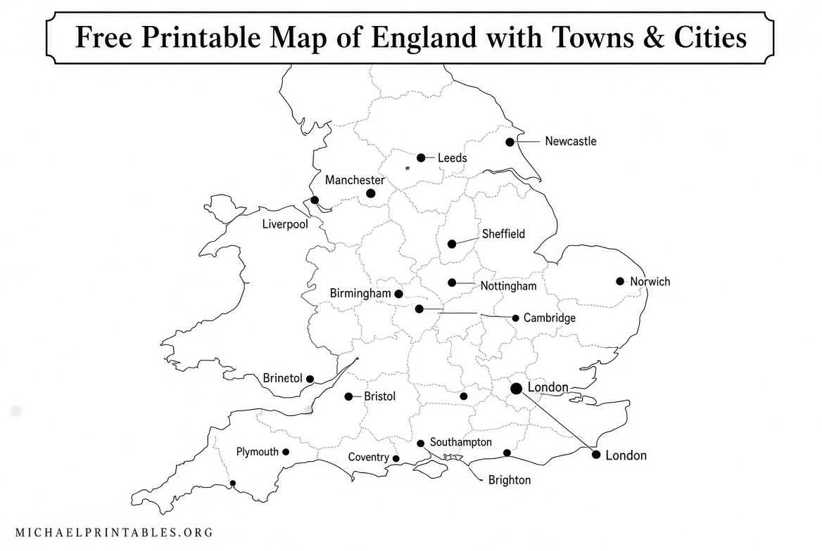
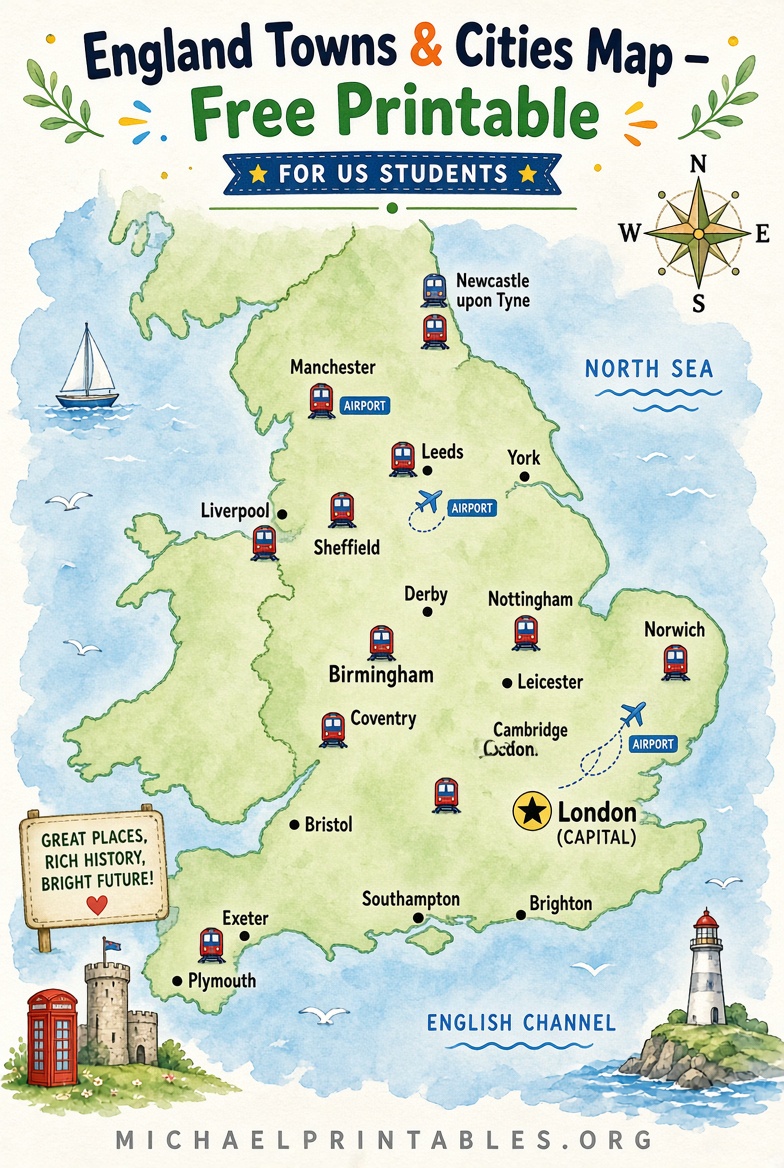
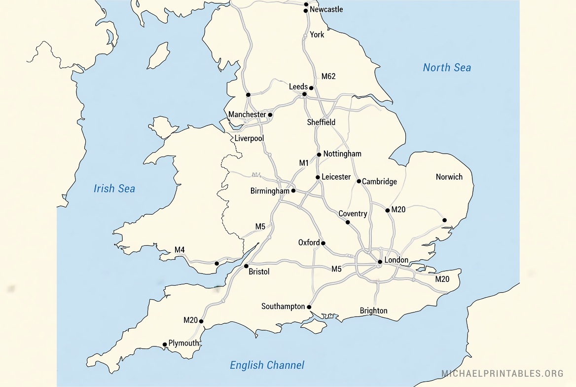
Free Printable England Map with Towns & Cities – Looking for a free printable map of England with towns and cities? Whether you’re a teacher planning a geography lesson, a parent helping with a school project, a traveler mapping a trip, or just curious about the layout of this part of the United Kingdom, a clear labeled map makes the country’s major places easy to see at a glance.
England sits on the island of Great Britain and is the largest of the four countries that make up the United Kingdom. A good printable map typically shows London as the capital plus other key cities such as Birmingham, Manchester, Liverpool, Leeds, Sheffield, Bristol, Newcastle, and many towns, along with major roads, rivers, and regional outlines.
These free resources are ideal for U.S. letter-size (8.5 × 11 inch) printers or larger paper if you prefer a bigger display.
Why a Free Printable Map of England Is Useful?
A labeled map helps students learn place names and locations, supports travel planning, and works well for classroom wall displays or homework. Black-and-white versions print cleanly and inexpensively; color versions add visual interest when available. Always check the license on any map you download—many allow personal and educational use with proper attribution.
Trusted Places to Download Free Printable Maps
Here are reliable, currently available free options that show towns and cities (or clear outlines you can label yourself). All links open in a new tab.
- Mapswire free United Kingdom maps — Download several high-quality printable maps of the UK (including England) under a Creative Commons CC-BY 4.0 license. Options include physical, blank, and detailed printable versions suitable for home or classroom printing. Visit the page and use the download buttons for the largest images: Mapswire UK maps.
- Ontheworldmap England and Wales map — This map clearly shows cities, towns, rivers, airports, railways, and main roads across England and Wales. It is free to download, print, and use for educational, personal, and non-commercial purposes (attribution required). View and download the large image here: Map of England and Wales.
- Ontheworldmap large detailed UK map — A more comprehensive version covering the whole United Kingdom with cities, towns, villages, roads, and other features. Same personal/educational non-commercial terms with attribution: Large detailed map of UK with cities and towns .
- Wikimedia Commons UK cities and towns map — A public-domain-style labeled map showing the United Kingdom’s official cities, main towns, and selected smaller places. Download the original PNG file for free printing: United Kingdom Cities and Towns map).
These sources prioritize free, legitimate downloads. Avoid sites that require payment or unclear “free” claims after a trial.
Free Printable England Map with Towns & Cities
How to Print Your Map Successfully?
- Open the link and download the highest-resolution image or PDF available.
- In your printer settings, choose “Fit to page” or “Actual size” and select U.S. Letter paper (or A4 if preferred). Landscape orientation often works better for the shape of England.
- For classroom sets, print multiple copies or enlarge on a poster printer. Laminating makes the map reusable for marking cities with dry-erase markers.
- If the map is blank or lightly labeled, have students or family members add key towns and cities themselves as a learning activity.
Tips for U.S. Users
England’s geography is compact compared with many U.S. states. Major cities cluster in the southeast (London), Midlands (Birmingham), northwest (Manchester/Liverpool), and northeast (Newcastle/Leeds). Pair the printable map with online tools such as Google Maps for current road or rail details when planning travel. For school use, combine the map with simple quizzes on capital, largest cities, or neighboring countries (Wales and Scotland).
Frequently Asked Questions
Is a free printable map of England with towns and cities really free?
Yes—the sources listed above offer genuine free downloads for personal and educational use. Always read the license note on the page.
Can I use these maps for commercial projects?
Most of the linked maps allow personal and non-commercial educational use only, or require attribution under Creative Commons. Check each page for details.
What’s the difference between an England map and a UK map?
England is one country within the United Kingdom (England, Scotland, Wales, and Northern Ireland). Many free maps cover the whole UK and clearly mark England’s towns and cities.
Will the maps print well on a home printer?
Yes. Choose the largest image available and use “fit to page.” Black-and-white outlines usually give the cleanest results on standard inkjet or laser printers.
A free printable map of England with towns and cities is a simple, practical tool for learning or reference. Download one of the maps above, print it, and start exploring the locations of London, Manchester, Birmingham, and the many towns that fill the English landscape.