Free Printable Map of Jamaica PDF Download – Looking for a free printable map of Jamaica? Whether you need an outline for a school project, a parish map for geography class, a blank version for labeling practice, or a simple reference for trip planning from the United States, several legitimate sources offer high-quality, ready-to-print options at no cost.
Jamaica is a Caribbean island nation south of Cuba, known for its parishes (administrative divisions), mountainous interior including the Blue Mountains, and coastal cities like Kingston (the capital). A good printable map helps students, teachers, homeschoolers, and travelers visualize the island’s shape, major features, and locations without needing paid software or subscriptions.
This guide points you to trusted free resources that provide actual downloadable or printable maps suitable for standard US Letter (8.5 x 11 inch) paper.
Types of Free Printable Jamaica Maps Available
Common free options include:
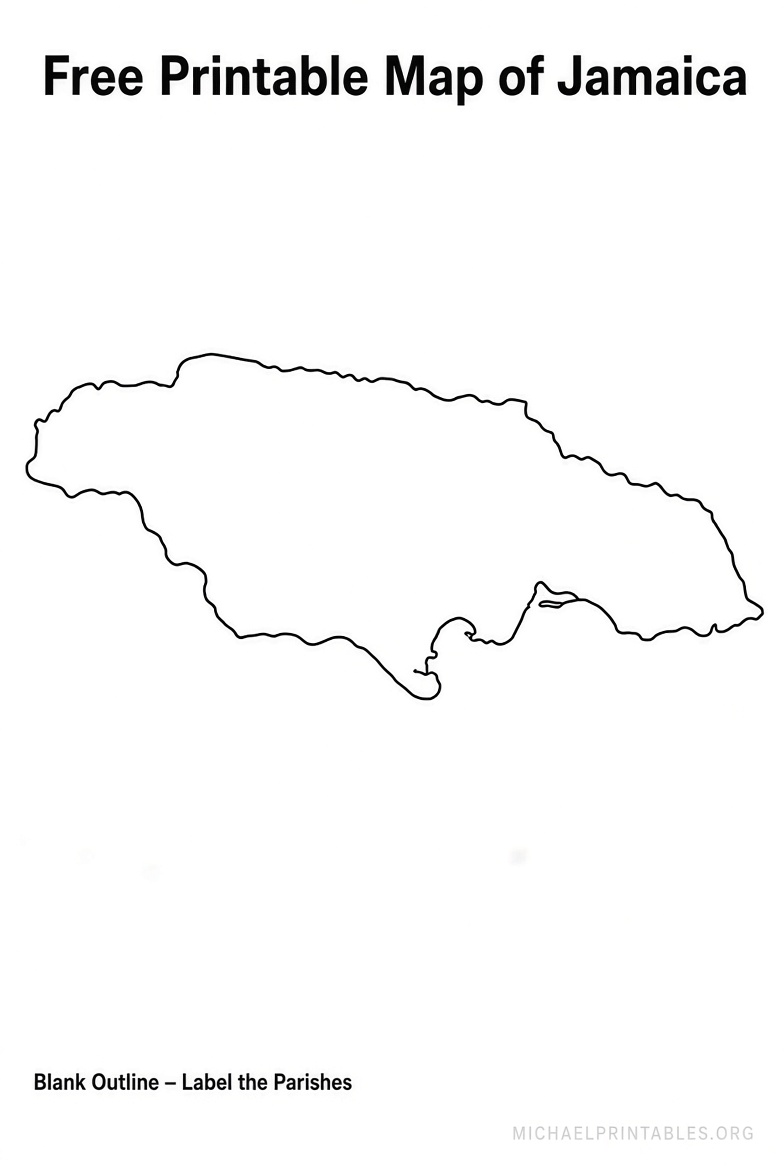
- Blank outline maps (just the island’s shape for coloring or labeling)
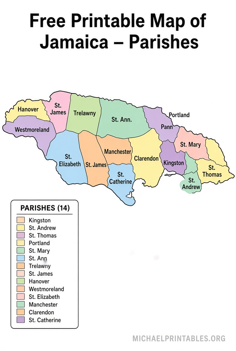
- Parish maps showing Jamaica’s 14 traditional parishes
- Political or capital location maps highlighting Kingston
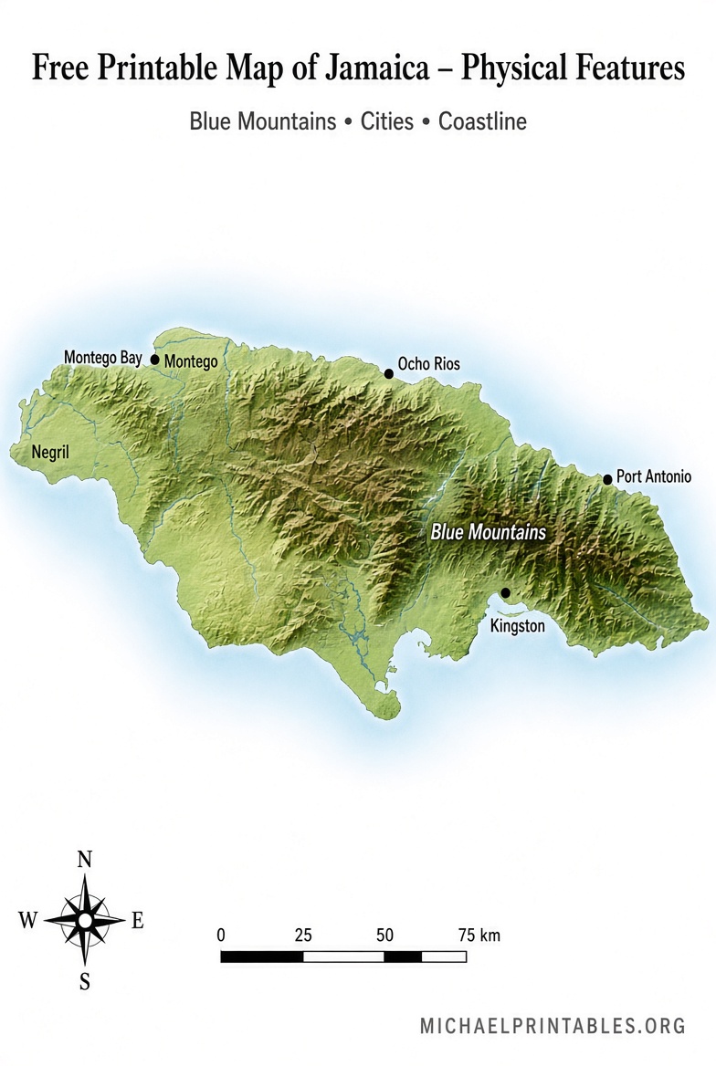
- Physiographic or transportation maps with terrain and roads
- SVG or vector versions that scale cleanly for larger prints or digital editing
Most support personal, educational, and non-commercial use. Always check the specific license on the source page for commercial projects.
Best Places to Download Free Printable Maps of Jamaica
Here are reliable, current sources offering free downloads or direct print options:
- The CIA provides public-domain maps of Jamaica that print cleanly on 8.5″ x 11″ paper. These include physiography and transportation versions. Download them free from the official CIA maps page: CIA Jamaica Maps.
- Mappr offers a variety of free printable Jamaica maps, including globe location, outline, blank, and capital-highlight versions in color and black-and-white. Downloads are straightforward and licensed under Creative Commons Attribution-ShareAlike: Mappr Free Jamaica Maps.
- Ultimaps provides free blank and outline maps of Jamaica with parishes in print-ready PDF (US Letter and A4), high-resolution PNG, and editable SVG. These work well for worksheets, presentations, and classroom use (free for personal and commercial projects with attribution): Ultimaps Blank Jamaica Map with Parishes.
- Simplemaps offers free blank Jamaica SVG maps (including administrative regions/parishes) optimized for web and print. The license allows free commercial and personal use (attribution appreciated): Simplemaps Free Jamaica SVG Map.
These sources prioritize clear, usable files without paywalls or mandatory sign-ups for the core maps. Avoid sites that require purchases, email traps, or unclear licensing.
Free Printable Map of Jamaica PDF Download
How to Print and Use Your Jamaica Map?
- Choose the map type that fits your need (blank outline for students, parish map for detailed labeling, or CIA version for official reference).
- Download the PDF or image file.
- Open in a PDF viewer or browser and select “Fit to page” or actual size for US Letter paper.
- Print in black-and-white to save ink, or color if the map includes shaded features.
- For classroom sets, print multiple copies or laminate for reuse.
Practical uses for a USA audience include:
- Homeschool or public school geography lessons
- Labeling exercises (parishes, cities, rivers, Blue Mountains)
- Travel planning or scrapbooking for a Caribbean trip
- Presentations or educational posters
Tips for Choosing the Right Free Printable Map
- Need something official and public domain? Start with the CIA maps.
- Want parish boundaries for labeling practice? Use Ultimaps or Simplemaps.
- Prefer multiple style options (color/black-and-white, location contexts)? Check Mappr.
- Always download directly from the source pages linked above rather than third-party aggregators that may alter files or add restrictions.
Brief FAQ
Are these maps truly free?
Yes. The linked sources provide free downloads for personal and educational use. Some require attribution for commercial projects—check the individual page.
What paper size works best?
Most are optimized for US Letter (8.5 x 11 inches), which is standard in the United States.
Can I use them in the classroom?
Absolutely. Blank and outline versions are ideal for student worksheets and quizzes.
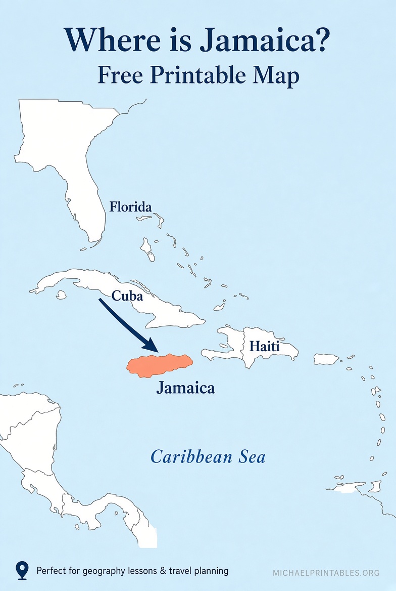
Is there a map showing Jamaica’s location relative to the US?
Several location and continent-context maps are available on Mappr and via CIA resources.
A free printable map of Jamaica is a simple, useful tool for learning about this Caribbean island or planning your next adventure. Download from one of the trusted links above, print, and you’re ready to go.